新闻

Enhancing Drone Mapping with TOF and LiDAR Technology Integration
What is Field of View (FOV)? Field of View (FOV) refers to the observable area a sensor or camera can capture. In LiDAR UAV applications, FOV affects mapping accuracy, coverage area, and scanning efficiency. A larger FOV allows for a broader view of the terrain, increasing mapping efficiency but reducing resolution, while a smaller FOV helps capture finer details. Adjusting the FOV is crucial for optimizing mapping tasks. What...

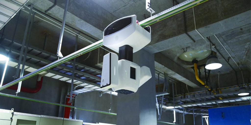
Enhancing Safety Monitoring with TOF Technology to Mitigate Risks
In modern industrial environments, safety remains the highest priority, especially in high-risk industries such as chemical plants, mining, smelting, and manufacturing. Traditional safety monitoring systems, which rely on cameras and infrared sensors, often face limitations in complex conditions like extreme lighting, smoke, and environmental interference. TOF (Time of Flight) technology, with its precise 3D depth perception, is rapidly becoming an essential tool for improving industrial safety by offering stable performance...


