


PRODUCT DETAILS

Velodyne LiDAR PUCK
Velodyne's new VLP-16 sensor is the smallest, newest, and most advanced product in Velodyne’s 3D LiDAR product range. Vastly more cost-effective than similarly priced sensors, and developed with mass production in mind, it retains the key features of Velodyne’s breakthroughs in LiDAR: Real-time, 360°, 3D distance and calibrated reflectivity measurements.
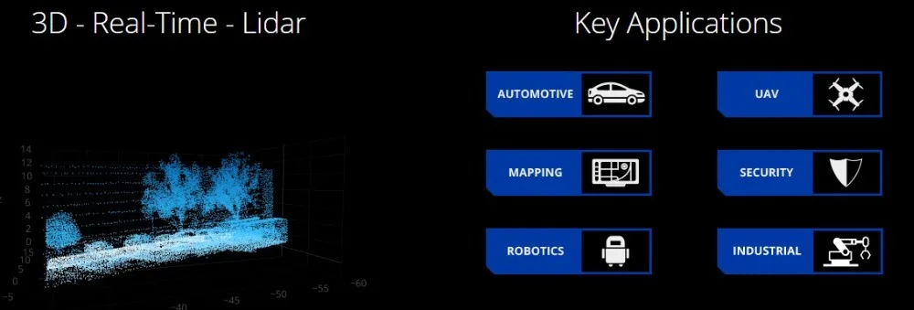
3D - Real Time - LiDAR
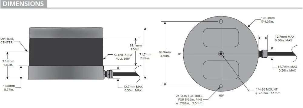
The VLP-16 has a range of 100m, and the sensor's low power consumption (~8W), light weight (830 grams), compact footprint (~Ø103mm x 72mm), and dual return capability make it ideal for UAVs and other mobile applications. Velodyne’s LiDAR Puck supports 16 channels, ~300,000 points/sec, a 360°
horizontal field of view and a 30° vertical field of view, with +/- 15° up and down. The Velodyne LiDAR Puck does not have visible rotating parts, making it highly resilient in challenging environments (Rated IP67).
KEY FEATURES
100 m range with compact form factor
Proven 905 nm tech, with largest install base
Top-of-the-line field-of-view
Best-in-class accuracy and calibrated intensity
Best-in-class power and temperature range
Sensor-to-sensor interference mitigation feature
Optional, enhanced short range detection
Versatile, with attractive volume pricing
Specifications:
Sensor:
• Time of flight distance measurement with calibrated reflectivities
• 16 channels
• Measurement range up to 100 meters
• Accuracy: +/- 3 cm (typical)
• Dual returns
• Field of view (vertical): 30° (+15° to -15°)
• Angular resolution (vertical): 2°
• Field of view (horizontal/azimuth): 360°
• Angular resolution (horizontal/azimuth): 0.1° - 0.4°
• Rotation rate: 5 - 20 Hz
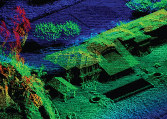
Data provided by Real Earth.
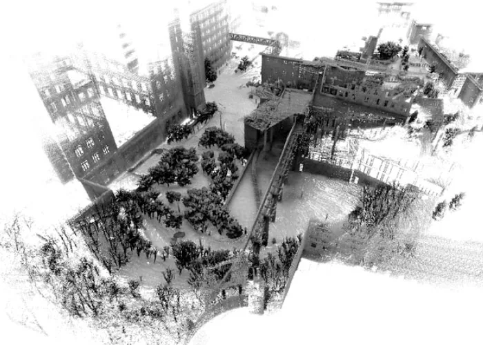
Data provided by XactSense.
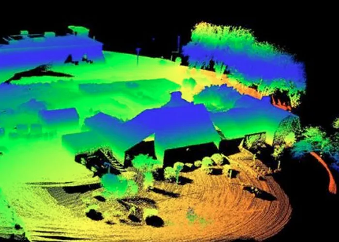
Data provided by Phoenix Aerial Systems.
VEHICLE LOCALIZATION
Single VLP16 (Velodyne 16) is being used for map based localization in fusion with IMU/Wheel-Encoder and prior 3D map (build using pose graph SLAM). A step towards low-cost localization.
UAV LIDAR MAPPING SYSTEM
This video is an overview of the Phoenix Aerial AL3-16 Lidar Mapping system. In this video, a DJI S1000 is used and for the demonstration, we flew over an over an open pit. You'll see how Lidar can pick up points underneath vegetation vs Photogrammetry will only map tree canopy.
UAV AIRBORNE LASER SCANNING
First experiment with the Velodyne Lidar 'Puck' mounted on a brushless gimbal on a Devourer X8 heavy-lift multi-rotor UAV.
LiDAR PUCK VLP-16 lidar Shipping List
1*VLP-16 lidar
1*junction box
1*Network cable
1*Power adapter
REVIEWS
SHIPPING & RETURNS
Returns Policy
Lorem ipsum dolor sit amet, consectetur adipiscing elit. Fusce eros justo, accumsan non dui sit amet. Phasellus semper volutpat mi sed imperdiet. Ut odio lectus, vulputate non ex non, mattis sollicitudin purus. Mauris consequat justo a enim interdum, in consequat dolor accumsan. Nulla iaculis diam purus, ut vehicula leo efficitur at.
Interdum et malesuada fames ac ante ipsum primis in faucibus. In blandit nunc enim, sit amet pharetra erat aliquet ac.
Shipping
Pellentesque ultrices ut sem sit amet lacinia. Sed nisi dui, ultrices ut turpis pulvinar. Sed fringilla ex eget lorem consectetur, consectetur blandit lacus varius. Duis vel scelerisque elit, et vestibulum metus. Integer sit amet tincidunt tortor. Ut lacinia ullamcorper massa, a fermentum arcu vehicula ut. Ut efficitur faucibus dui Nullam tristique dolor eget turpis consequat varius. Quisque a interdum augue. Nam ut nibh mauris.
CUSTOM TABS
